Latest News
Information meeting audio recording | August 29, 2025
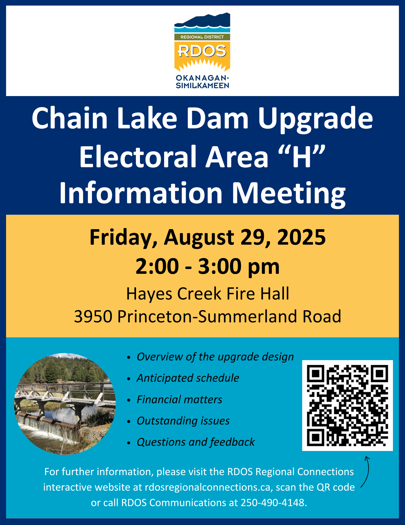
Thank you to everyone who attended the Chain Lake Dam information meeting on Friday, August 29, 2025, at Hayes Creek Fire Hall.
Information Meeting
View the summer 2025 project newsletter here.
The newsletter can also be accessed under the Documents tab.
A 3D rendering of Chain Lake Dam can be viewed here.
View the spring 2025 project newsletter here. The newsletter can also be accessed under the Documents tab.
The service area petition process has been briefly postponed. No action is required at this time. Project updates will be posted here when finalized.
Background
Chain Lake Dam is an earth-filled embankment, complete with a concrete spillway and a corrugated steel culvert Low Level Outlet (LLO). The dam, located in Electoral Area "H" approximately 36 km northeast of Princeton, British Columbia, is situated at the south end of Chain Lake and flows into Hayes Creek. The dam currently impounds approximately 1,348,000 m³ of water at the spillway crest level, and the watershed area upstream of the dam is approximately 9.2 km². Currently, the consequence classification for the dam is rated “Significant,” and partial failure could lead to downstream flooding and flood damage.
Chain Lake Dam Upgrade Information Meeting - February 5, 2025
FAQ
________________________________________________________


